

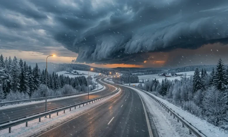
The US 2026 winter weather forecast indicates a dominant El Niño pattern, bringing milder temperatures to the Pacific Northwest and West Coast. Meanwhile, an active southern storm track will deliver heavy rainfall to the Southwest and Gulf Coast, with severe cold outbreaks and snowfall threatening the Eastern United States.
Key Takeaways
- Climate models project a 97% probability of El Niño persisting into early 2027, with an 81% chance of reaching Super El Niño strength.
- The Western US and Pacific Northwest face warmer, drier conditions early in the season due to a positive Pacific North American ridge pattern.
- An amplified jet stream will channel frequent atmospheric moisture across the Southwest and Southern states, driving elevated precipitation.
- Polar vortex disruptions in mid-to-late winter increase severe arctic cold outbreak risks and heavier snowfall across the Midwest, Great Lakes, and East Coast.
Pacific Ocean Heating Signals a Dramatic Seasonal Shift
Atmospheric scientists across major meteorological institutions are tracking an extraordinary warming trend in the equatorial Pacific Ocean. Data published in the NOAA ENSO Diagnostic Discussion reveals that sea surface temperature anomalies exceeded key thresholds during late spring and summer, pushing oceanic indicators into strong El Niño territory.
This rapid accumulation of thermal energy alters global circulation cells. Tropical convection expands eastward, sending kinetic ripples through the Northern Hemisphere atmosphere as winter approaches.
Sea Surface Temperature Anomalies Break Key Thresholds
Observations in the critical Niño 3.4 monitoring region show sea surface temperatures tracking more than 1.5 degrees Celsius above baseline averages. According to the probabilistic forecasts from the IRI ENSO Forecast, 23 out of 26 dynamical models project oceanic anomalies to top 2.0 degrees Celsius before the end of the year.
This magnitude puts the event in rare company. Only a handful of winters in recorded history have featured tropical Pacific ocean heating of this scale.
Jet Stream Positioning Reorganizes Winter Storm Corridors
The primary engine behind North American winter weather is the polar jet stream. Under normal conditions, this high-altitude ribbon of air holds cold arctic air near the pole while guiding storms along northern tracks.
During a strong El Niño, the jet stream splits and strengthens across lower latitudes. A sub-tropical jet stream becomes highly active, steering moisture-laden Pacific storms directly into southern California and the Gulf Coast.
Regional Breakdown: Snow, Ice, and Temperature Predictions
Meteorological patterns vary significantly across geographic regions during major oceanic warming events. The 2026 forecast presents stark contrasts between coastal western states and interior eastern corridors.
Understanding regional dynamics helps communities and businesses prepare for localized seasonal challenges.
Mild Conditions and Reduced Snowpack for the West Coast
Residents in Washington, Oregon, and northern California should prepare for a milder start to winter. Upper-level ridging over the eastern Pacific diverts cold Canadian air masses away from the Northwest coast.
Seasonal snowpack in the Cascade Range and northern Rockies may lag behind historical averages. Lower elevation ski resorts could face higher snow lines and rain-on-snow events during early storm cycles.
Active Storm Tracks Bring Heavy Rain to Southern States
The Southwest and southern tier states face a significantly wetter outlook. Storm systems moving off the Pacific will carry abundant tropical moisture across Arizona, New Mexico, Texas, and the Southeast.
While this precipitation offers drought relief, it elevates flash flooding hazards. Repeated heavy rainfall events may impact coastal infrastructure and agricultural operations across Florida and Georgia.
Arctic Air Outbreaks Target the Midwest and Great Lakes
The Central United States sits at the intersection of conflicting air masses. While early winter may bring brief periods of moderate temperatures, long-range ensemble models signal unstable atmospheric blocking over northern Canada.
When the polar vortex weakens, freezing arctic boundaries plunge southward into the Upper Mississippi Valley and Great Lakes region. These sudden temperature drops create conditions favorable for severe ice storms and lake-effect snow bands.
Heavy Snow Potential Rises Across the Mid-Atlantic and Northeast
Snowfall predictions for eastern metropolitan areas depend on the interaction between coastal moisture and cold inland air. Previous strong ocean warming events demonstrate that while total snowfall events may be fewer, individual storms carry substantially higher snow volume potential.
Nor’easters developing off the Carolina coast will draw tropical moisture from the sub-tropical jet stream. When these systems tap into arctic air pushing down from eastern Canada, major snowfall events become likely along the I-95 corridor.
Comparing NOAA Climate Models and Heritage Farmers Predictions
Long-range forecasting relies on a combination of supercomputer physics simulations and historical pattern recognition. Comparing data from official agencies with traditional seasonal publications reveals strong consensus on overall seasonal trends.
Data integration from the Climate Prediction Center highlights high confidence in seasonal precipitation anomalies across the southern border.
Multi-Model Ensemble Align on Tropical Pacific Warming
Computer simulations from the North American Multi-Model Ensemble combine distinct atmospheric models into a unified probability field. These systems consistently forecast an intensified southern storm track paired with anomalous high pressure over Western Canada.
The European Centre for Medium-Range Weather Forecasts seasonal model shows matching alignment. Consensus among global supercomputing centers gives forecasters higher confidence in long-term atmospheric trends.
Atmospheric Drivers Beyond Tropical Ocean Temperatures
While Pacific Ocean surface temperatures serve as the primary driver, secondary climate oscillations exert powerful short-term influences. The Arctic Oscillation and North Atlantic Oscillation dictate whether cold air stays locked in the Arctic or surges into eastern population centers.
Long-range guidance in the Farmer’s Almanac Extended Forecast points toward strong blocking patterns over Greenland during January and February. Negative North Atlantic Oscillation phases often trigger prolonged mid-winter cold spells and major coastal snowstorms.
How Infrastructure and Agriculture Prepare for Extreme Swings
Seasonal forecasts provide critical lead time for key economic sectors to adjust operations and mitigate weather risks. Severe weather events incur billions of dollars in infrastructure repairs and supply chain disruptions each year.
Proactive planning based on ocean-atmosphere modeling allows organizations to protect assets and maintain grid stability.
Energy Demand Volatility in the Eastern Power Grids
Grid operators in the Mid-Atlantic and Midwest must prepare for extreme load swings. Milder early winter temperatures may lower immediate heating demands, but sudden arctic outbreaks drive dramatic surges in electricity and natural gas consumption.
Power providers are inspecting weatherization systems and securing natural gas reserves to prevent cold-weather generation failures during severe freeze events.
Agricultural Water Reserves and Winter Crop Protections
Fruit growers and winter crop producers across southern states monitor freezing rain and frost warnings closely. Increased rainfall helps replenish deep soil moisture and reservoir levels, boosting crop yields for the following spring.
However, prolonged wet soil conditions pose challenges for winter harvesting equipment and increase root disease risks. Growers in Florida and southern Texas are preparing freeze protection equipment for late-season cold snaps.